


Iowa's Final Borders: Iowa Time Machine March 27, 1846
- Mar 27
- 2 min read

Iowa Time Machine ⏰: On March 27, 1846, Illinois senator Stephen A. Douglas introduced a bill in the U.S. Senate to admit Iowa with a northern boundary at latitude 43°30′, a compromise line that sliced through competing visions of a very large or a much smaller Hawkeye state.
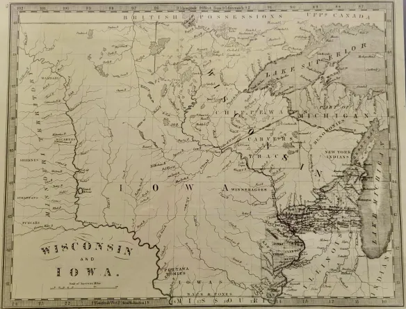
Earlier efforts to bring Iowa into the Union had stalled, not because Iowans rejected statehood in principle, but because they disliked the boundaries that Congress tried to impose in 1844 and 1845. Iowa’s first constitutional convention embraced Governor Robert Lucas’s dream of a large state stretching far to the northwest. At the same time, some members of Congress favored the smaller configuration recommended by cartographer Joseph Nicollet. Behind these maps lay sectional calculations over how many new free states might be carved out of the Upper Mississippi Valley and how those states would line up in looming arguments over slavery and internal improvements.
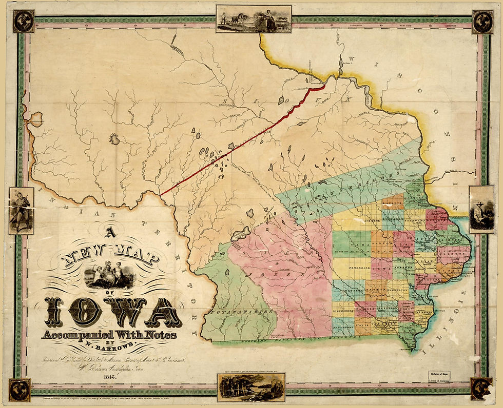
Douglas’s March 27 compromise bill tried to thread that needle by fixing Iowa’s northern border at 43°30′ while using the Missouri and Big Sioux rivers to define much of the western edge. The proposal trimmed back Lucas’s giant Iowa. However, it still gave the future state a substantial footprint between the Mississippi and Missouri, satisfying many local politicians who wanted access to river trade and room for future growth. In debates over the measure, Douglas pointed to communities like Dubuque, whose residents did not want to find themselves isolated on a distant frontier, and he framed the compromise as a way to align the interests of river towns, interior settlers, and national parties.

When Iowans met in a second constitutional convention in 1846, they accepted the Douglas boundaries, and Congress later folded those lines into the August 4, 1846, statehood act that President James K. Polk signed. The line Douglas helped draw in 1846 still shapes life in the upper Midwest, even if most Iowans rarely think in terms of latitude 43°30′. That border fixed which communities would develop as “Iowa” and which would become part of Minnesota, influencing railroad routes, county formation, and later agricultural and industrial patterns across the region. #Iowa #OTD #History #Geography #Maps


Comments